Lake Gregory
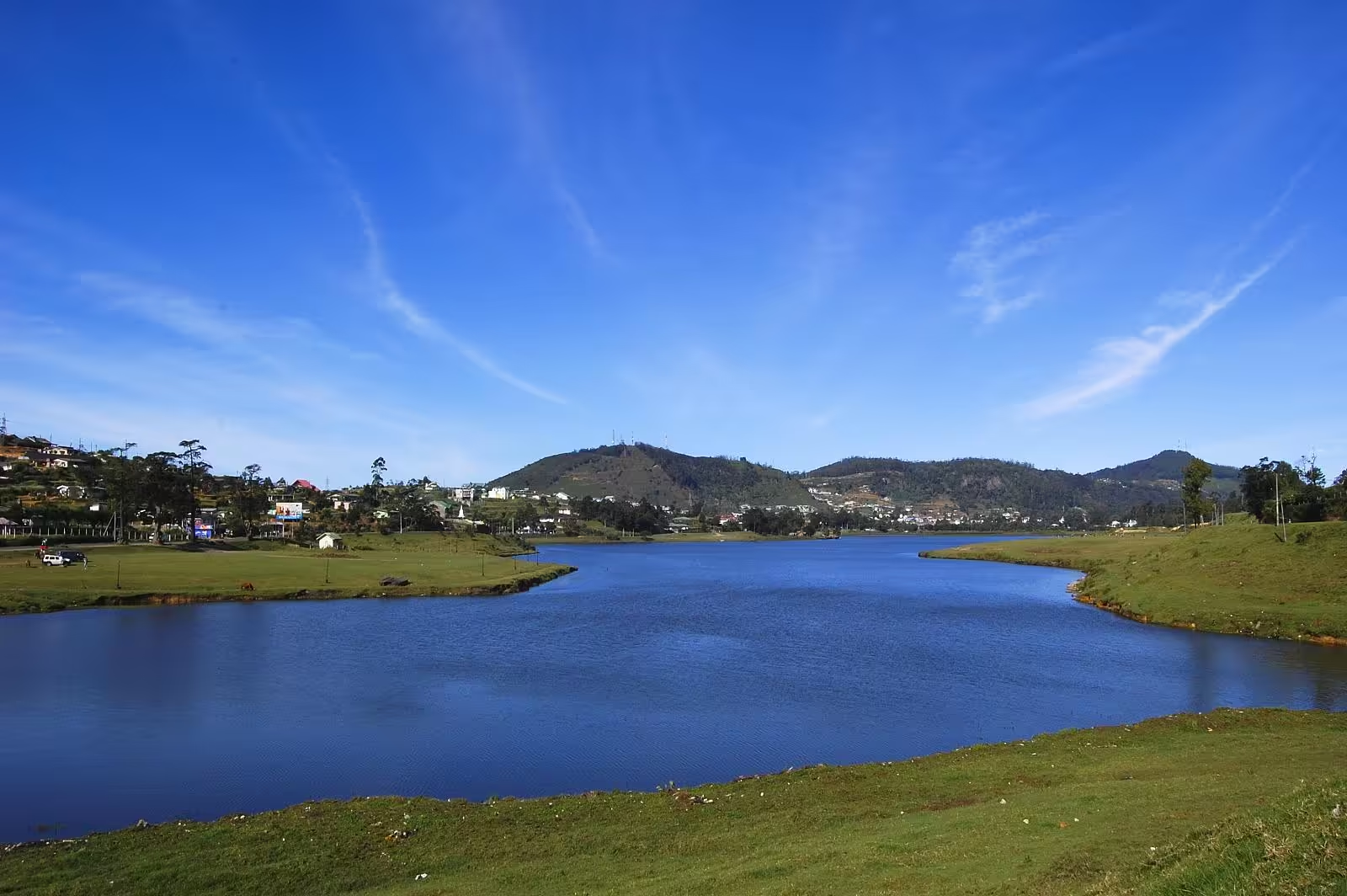
The reservoir at the centre of Nuwara Eliya, dammed in 1873 and now the town's boating, riding and evening-walk ground.
- Altitude
- 1,868 m
- Coordinates
- 6.957°, 80.780°
Current Weather
Lake Gregory sits in the middle of Nuwara Eliya, at the town's own altitude of about 1,868 metres, and it is the reason the town has a centre at all. What is now open water was a swampy bog at the foot of the hills bordering the settlement.
A colonial public works project
In 1873, Governor Sir William Gregory authorised the damming of the Thalagala stream — which rises on Pidurutalagala, the island's highest mountain — in order to drain the bog and free up land for the town to expand into. The lake is named after him.
Two later additions tell you what the British wanted from it. In 1881 it was stocked with trout by C. J. R. Le Mesurier, then Assistant Government Agent for Nuwara Eliya — part of the same project that made this town a recreation of an English hill station. And in 1913 its water was diverted into a tunnel feeding a hydroelectric station at Blackpool, between the town and Nanu Oya; that station still supplies the town.
Now
The lakeside is a public park with a path round part of the shore, pedal boats and speedboats for hire, and pony rides along the grass. It is where Nuwara Eliya goes in the late afternoon, and at this altitude the late afternoon is genuinely cold — bring a layer, which is not advice that applies anywhere else on the island.