Bentota
A resort town on the south-west coast where the Bentota River meets the sea — beach, water sports and the gateway to the Madu Ganga mangroves.
- Altitude
- 3 m
- Coordinates
- 6.420°, 80.000°
Current Weather
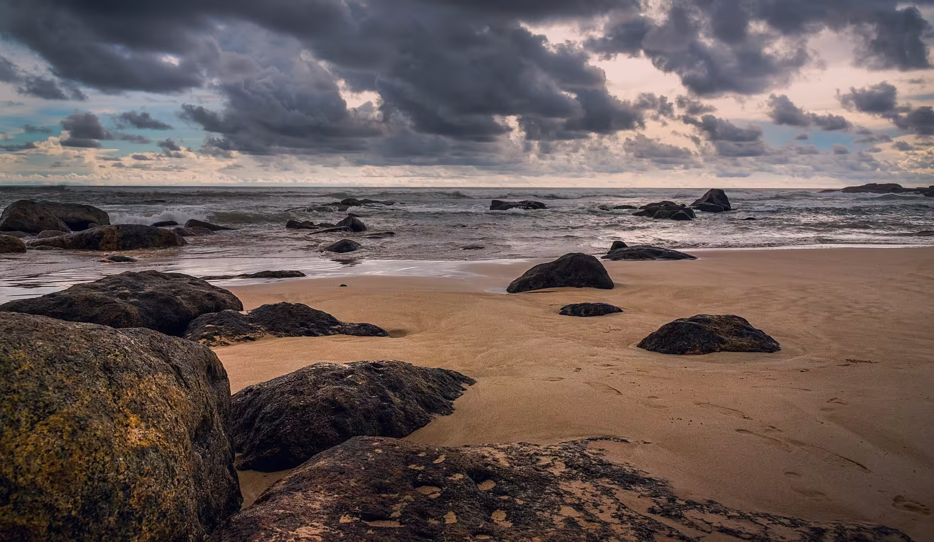
Bentota sits on the southern bank of the Bentota River mouth, in the Galle District of the Southern Province, about three metres above sea level. It is the closest thing Sri Lanka has to a purpose-built beach resort: a long golden strand on one side, a wide calm river on the other, and the hotels stacked along the spit between them.
A fort, a bridge and a beach
The river mouth has been strategically useful for as long as anyone has been sailing this coast. The Portuguese built a small fort at the mouth of the Bentara Ganga in the 17th century; the British later put a permanent bridge across it. The resort trade is much more recent, and it is what the town now runs on — along with a small river airport and a reputation as the country's water-sports centre.
Why itineraries stop here
Two reasons, and neither is the beach. The river is flat, sheltered and wide, which makes it the best place on the island for jet ski, banana boat and tube rides without an ocean swell. And Bentota is the road-head for the Madu Ganga wetland at Balapitiya, twenty minutes south — the mangrove boat safari that appears on almost every Sri Lanka circuit.
For most visitors on a week-long loop, Bentota is the night between the hill country and Colombo: the point where the road finally reaches the sea and the temperature goes back up.