Colombo
Sri Lanka's port capital — a colonial Fort, the Pettah bazaar, an ocean-front green and a skyline being rebuilt on reclaimed land.
- Altitude
- 5 m
- Coordinates
- 6.934°, 79.843°
Current Weather
Colombo is where almost every visit to Sri Lanka begins and ends, and it is worth more than the transfer most itineraries give it. The city is a working port that has been fought over by three European powers, a bazaar quarter that has not changed its trade in two centuries, and — since the 2010s — a skyline rising on land reclaimed from the sea.
Capital, but not quite
Colombo is the executive and judicial capital and the country's commercial centre, but it has not been the national capital since the 1980s, when the administrative functions moved to Sri Jayawardenepura Kotte on the eastern edge of the metropolitan area. Most foreign missions stayed in Colombo, and so did the money. The city proper held 752,993 people at the 2011 census; the metropolitan area holds around 5.6 million.
The name is generally traced to a classical Sinhala form meaning port on the Kelani river, though a competing reading gives harbour with leafy mango trees.
Three colonial powers, in order
The Portuguese arrived in 1505 and began a fort in 1517. The Dutch took it in 1656 and held the city until 1796. The British captured it that year and made it the capital of the crown colony in 1815, the year they finally took Kandy and ended the last independent Sinhalese kingdom. Each layer is still legible — in the street grid of Fort, in the Dutch Hospital's courtyards, and in the Victorian banks and clock tower that face the harbour.
What to see in half a day
Fort (Colombo 1) is the old European quarter and the business district. Pettah, immediately east of it, is the bazaar: a grid of streets where each one still sells largely one thing — textiles on one, electronics on another, spices and dried fish on a third. It is the most rewarding hour in the city and the least comfortable.
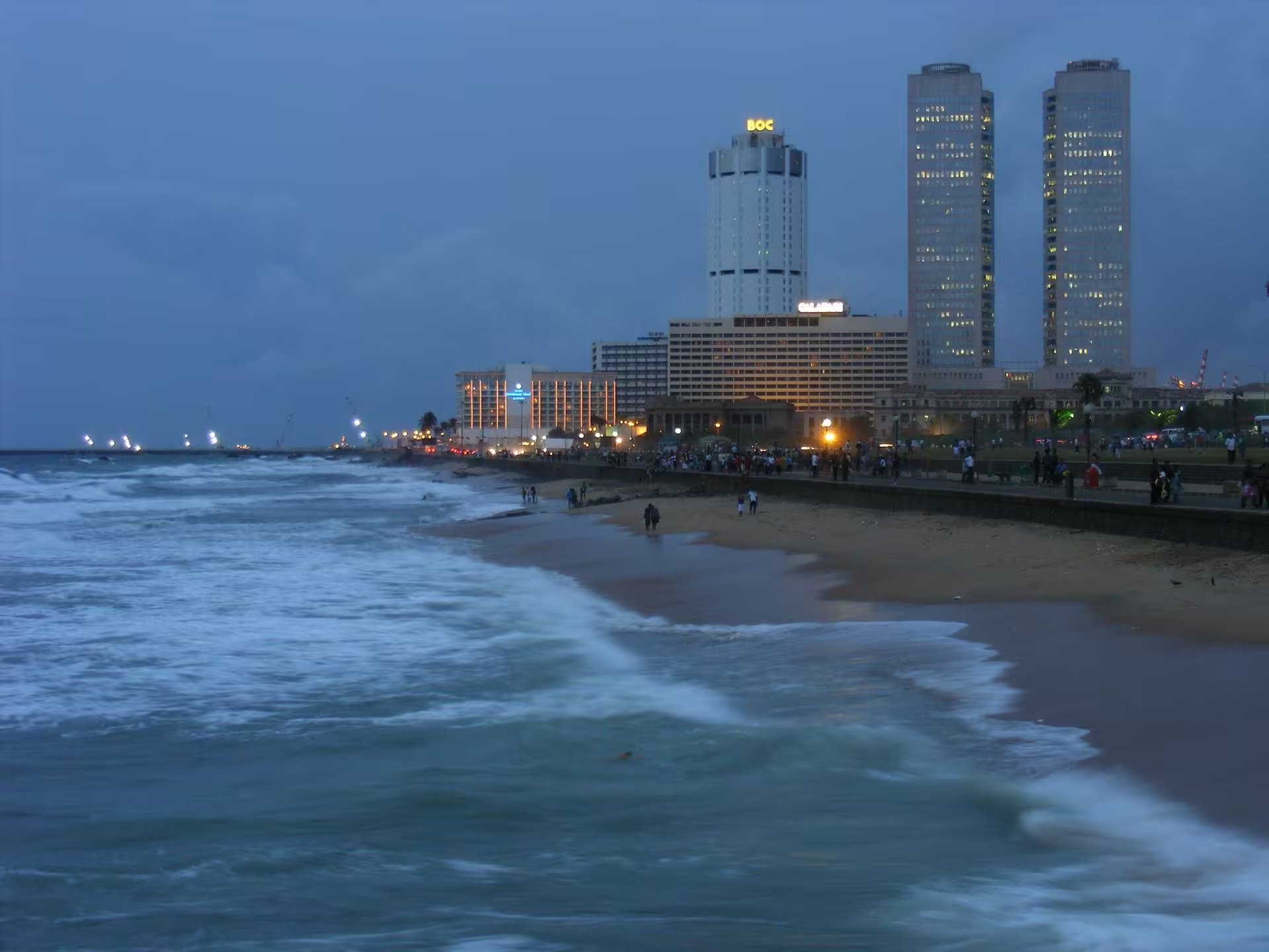
Galle Face Green is the ocean-front promenade, laid out by the British and now the place the whole city walks at sunset, with kite sellers and isso wade stalls along the sea wall. The Lotus Tower and the Port City development — a new district built on reclaimed land beyond the old harbour — are what the skyline has become in the last decade, and both are visible from the Green.
Gangaramaya Temple, on Beira Lake a short walk inland, is the city's best-known working temple and its strangest museum.