Ramboda Falls
A 109-metre fall on the Kandy–Nuwara Eliya road, and the standard stop on the climb into the tea country.
- Altitude
- 945 m
- Coordinates
- 7.067°, 80.700°
Current Weather
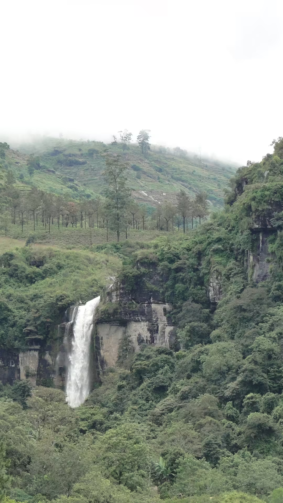
Ramboda Falls drops 109 metres (358 ft), which makes it the eleventh tallest waterfall in Sri Lanka. It is formed by the Panna Oya, a tributary of the Kothmale Oya, and sits at an altitude of about 945 metres in the Pussellawa area, on the A5 highway at Ramboda Pass.
Why every itinerary stops here
Position. The A5 between Kandy and Nuwara Eliya is three hours of hairpins through tea estates, and Ramboda is the natural break in it — the fall is visible from the road, there is somewhere to park, and the view down the valley is the best on the drive. A tea factory visit is usually bolted onto the same stop.
What you actually see
There are two falls here, upper and lower, and what most visitors photograph from the roadside is the lower one. A path and a staircase lead closer from near the hotel that shares the name. Volume varies enormously with the season: after the north-east monsoon it is thunderous, and in a dry spell it thins to ribbons. Neither is a disappointment, but they are different sights.